The impact scar of the Avro Anson Mk.I was just visible, although most of the landscape was lost in mist. The Ordance Survey Grid Reference is SH 71689 69781.
A lot of the scar must have grassed over, but it's astounding that there's still bald earth after 76 years.
Looking down the hill, along the impact scar. Although short grass has recolonised the edges, the rushes still haven't managed to come closer.
There follow a number of photos of small, unidentified scraps of wreckage lying on the impact scar. I don't know enough about aircraft to attempt to identify them. There are a lot of photos in this blog entry, which may feel repetitive, but my aim in these posts is to record as much as possible of what still remains, since time and circumstance continue to erase these pieces of history. A lot of the pieces of aluminium appear to be melted. I assume that the aircraft caught fire on crashing.
This small, delicate filament is a strand of copper wire, perfectly bright.
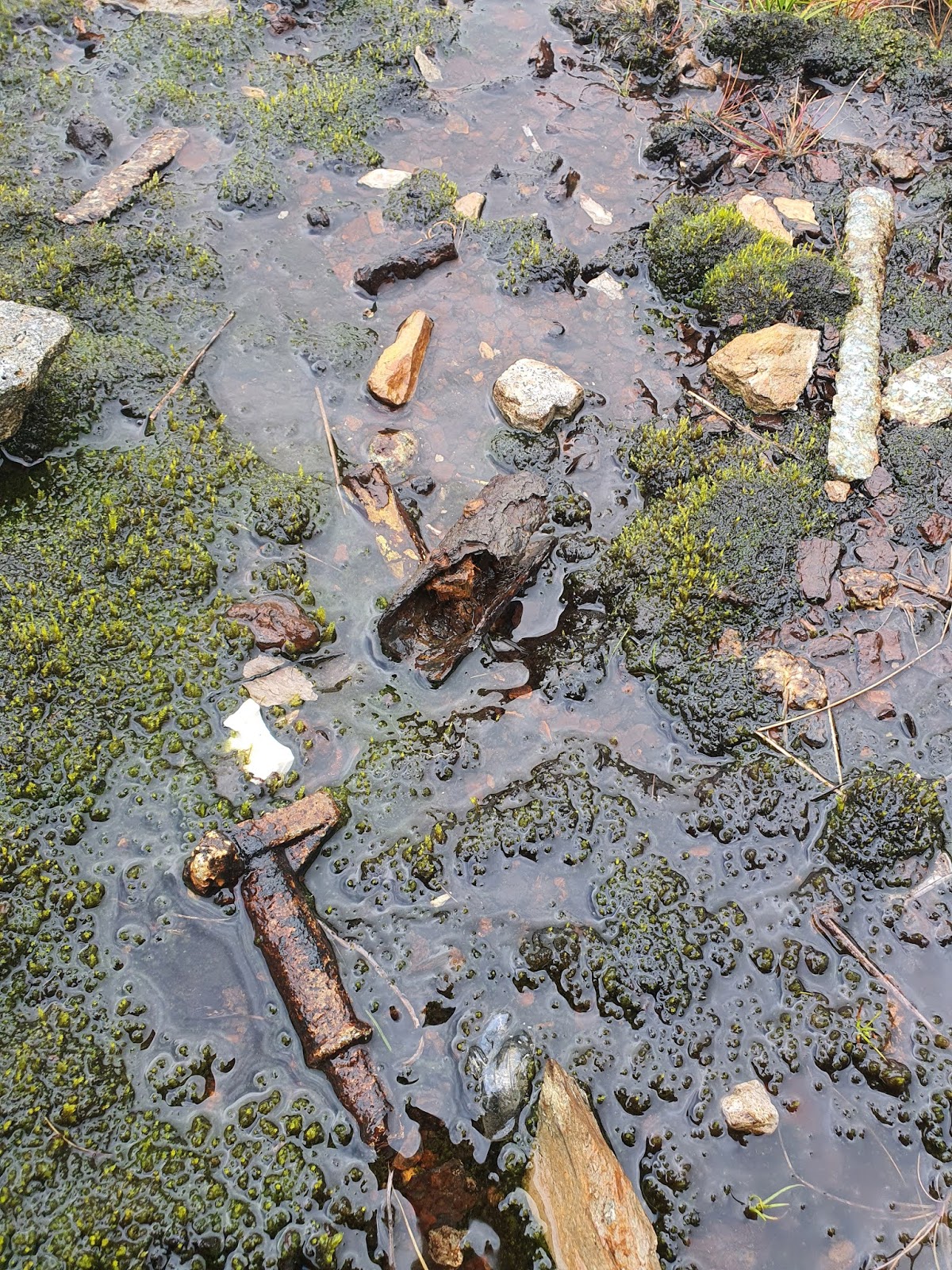
This almost looks like a hammer head. Maybe some kind of handle or joint?
A series of photos of what seems to be a battery, badly damaged and corroded.
Rabbits or other burrowing animals seem to have made the bottom of the scar their home. I hope there aren't too many toxins in the soil.
Leaving the crash scar behind. Perhaps the absence of rushes either side show how wide it used to be?
Five men were killed here:
Sergeant Reginald William Thomas Smith, Pilot.
Pilot Officer, RCAF John Marshall Polomark, Navigator.
Pilot Officer George Williams, Passenger.
Sergeant Norman Valentine Neville Robson, Wireless Operator
Sergeant Wilfred Jackson, Wireless Operator/Air Gunner.
Continuing on down the mountainside, through wet, marshy land.
Great areas around me were still swathed in low cloud. The path of streams further down can be seen by the trees along their banks, taking advantage of the small shelter afforded by the channel cut through the land.
A small structure on the way down. Rather stupidly, I didn't take a grid reference for it.
The possible structure closer up. It could also just be stones from field clearing.
The first of two structures marked on the Ordnance Survey map. This one is at SH 7240 7031.
The second structure, very close to the first, at SH 7243 7033. Both structures are right on the edge of a small mountain stream.
The second structure is more substantial than the first.
Coming down onto the river, which later flows into the Afon Roe.
A first glimpse of the sheep fold. There are a number of these amazing, flower-like sheep folds across the hills, much more impressive than the more usual one or two celled ones that can be seen. From the air they look rather like blossoming flowers, with petals coming out from a central hub.
This description of another similar fold on the Coflein website gives a good explanation for the reasons behind these complicated, elaborate folds, and paints a wonderful picture of community on the mountainside: "There is no clear record of when these complicated structures originated. [Their] size and complexity attest to construction and continuing maintenance by generations of farmers from at least the eighteenth century. Sheep belonging to many farms and sharing a common sheepwalk would be gathered in through the funnelled entrance and sorted, on occasions such as shearing, into the small cells belonging to particular farms."
A superfluity of gates.
A pair of rather magnificent gate posts.
The fold is set right against the narrow mountain stream, the presence of which is indicated by the low willow trees along its edge.
This image from Google Maps shows the shape of the sheepfold much more clearly.
Standing in the wide end of the fold entrance, looking out.
Looking down the funnel entrance into the fold.
One of a number of repurposed garden gates.
A narrow entrance from one cell to another.
A little sheep hole with a wooden door.
Another repurposed garden gate.
An exit through to the river. Idiot No. 1 inspects.
Either this is another repurposed gate which has fallen over, or this is the entrance to the fold's underworld cell.
Outside the fold, a clever little split pier has been built, so as to be able to bridge the river without having to build a bridge.
The gap was a bit scary for Idiot No. 2, but to be fair, she does have short legs.
A view of the fold from across the river. In the distance, Tal y Fan is still shrouded in cloud.
From across the little river, the structure of the sheep fold is easier to see.
The fold makes a picturesque sight, and the sky is just starting to clear, too.
The weather cleared up so well it was hard to believe I had come out of low cloud and constant drizzle, with my feet so wet they squelched at every step.
My route took me past Y Stabl, a mystery little building that I've spoken about before,
here.
The front of Y Stabl, with its lovely faced stones.
The long, dry, road home down Ffordd Mynydd. Too late for my soaked feet.


No comments:
Post a Comment