I wasn't specifically heading for Foel Fras on this walk, but wondering if I might make it a little further, to find an air crash site on Llwytmor, nearer the coast. I was strangely tired that day, though, and decided it was taking me too long, so I settled for Foel Fras, where an Avro Anson Mk.I. crashed during the night in July, 1944.
It was a fun walk, although the tiredness hung on me, making all my limbs feel heavy. It felt like a bit of a struggle all the way, and I was glad to be coming down again in the end. Joys along the way included a curious herd of Carneddau ponies, and a sudden descent of mist, leaving me in splendid isolation, briefly, on the top of Foel Fras.

We, Idiots No. 1 and 2™ and I, headed up the track past Pen y Gadair on a reasonably fine day, although there were some low clouds gathering over the mountain.

Past the stile to Pen y Castell, the track continues along the side of the hill before dipping down.

Idiot No. 2™ seemed more keen on cutting down to Dulyn, but I wanted to go higher than that.

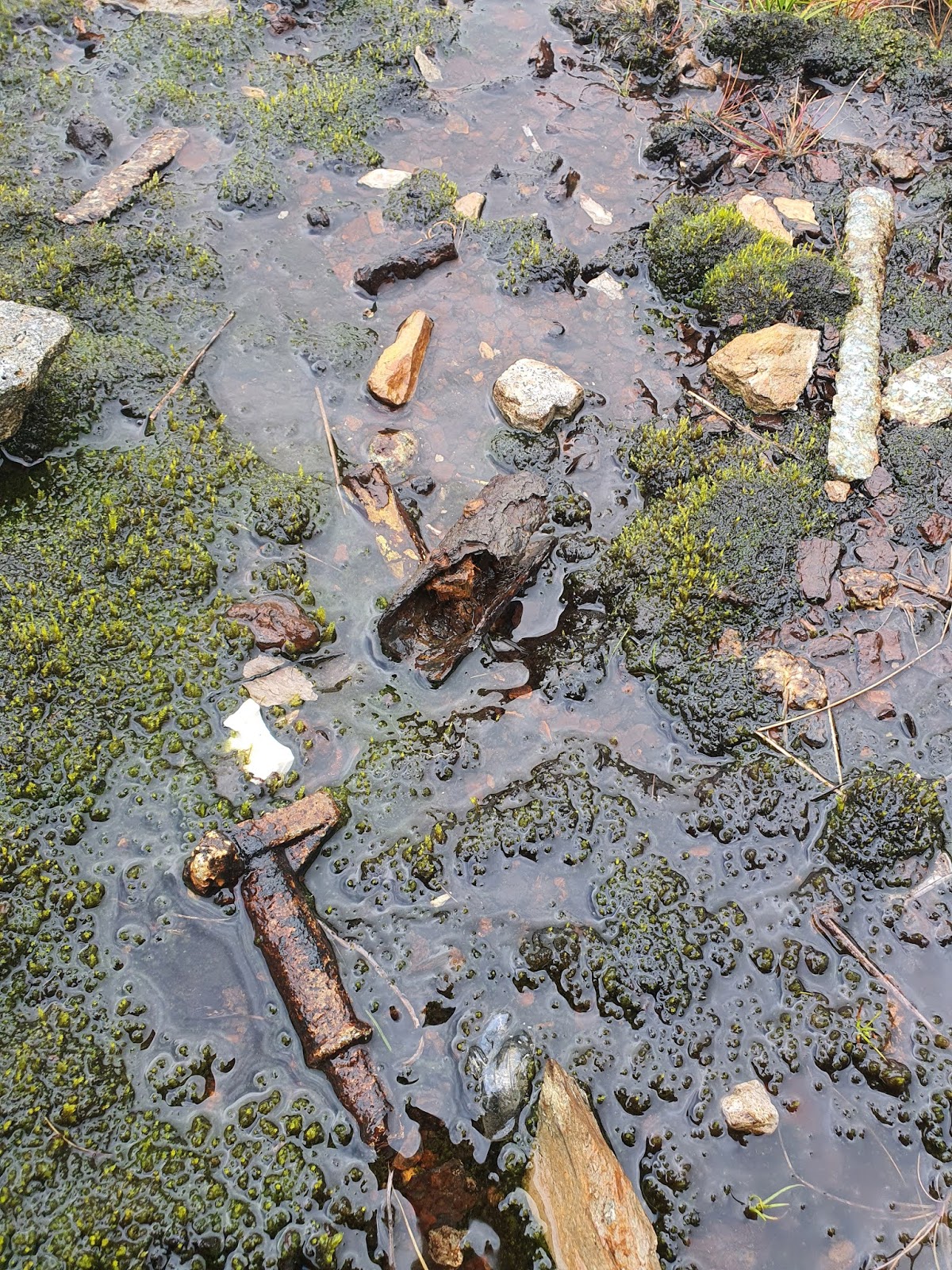
The footpath crosses the Afon Ddu (OS grid ref SH 7183 6800) next to a rather angular sheepfold, where track, river, and fences all come together as one. At wetter times of year it's just a case of getting your feet wet.

Is this a track or a stream? Technically I think it's the track - the river comes down at right angles - but the water doesn't seem to care.

The sheepfold on the Afon Ddu (Black River).

The river is well named, cutting a black gully through the peaty land.

We sat and rested for a while, after cutting up across the contour lines towards the summit of Foel Fras.

Some of the fence posts up on these slopes are things of beauty. Cracked and greyed by weather and age, speckled with grey-green lichen, with the steel fence wire making a blood-rust contrast against the cooler colours. These are the glas and coch of the Welsh landscape - blues that owe more to greens and grey, and reds that owe more to the soft orange-browns of dead bracken. No wonder so many places names use these descriptors.

On the way up we met a herd of Carneddau ponies. Sometimes I can feel a little nervous of them (probably due to my childhood of being chased by a belligerent Welsh Mountain pony), but in the main they're curious but not that bothered about you. Just take care not to get between adults and foals or the stallion and his herd.

These ponies were on the other side of the fence, so I felt pretty easy with them. They could probably jump it if they wanted to, but they showed no desire to.

In the far distance, behind the ponies and the falling slopes of the hills, the Afon Conwy is a little ribbon of silver heading to the sea.

The horses kept coming closer then shying away, made nervous in part by the dogs. This first video shows how wary they were, their wariness vying with their curiosity.

They kept coming back to the fence again, fascinated by our presence.

I sat down by the fence to make myself less of a threat to them. Then I thought that singing to them might calm and intrigue them. I don't claim to be a great singer, and I was out of breath, with Idiot No. 2™ choosing to lick my throat every now and then, but they did seem intrigued. This video shows them listening with fascination.

The ponies came very close, just standing and listening, then moving aside to let others come to the front.

There are too many photos of the horses but it's hard to decide to delete any because it's so fascinating seeing their individuality and their social relations.

In the background, one of the big foals has gone to her mother, and they touch noses in greeting.

The nose touching was a prelude to suckling.

Eventually I got up and the horses ran off across the hill. I don't know how long they would have stayed otherwise.

We carried on up the hill, following the fence until it became a stone wall for a short time. We were looking for the site of a crashed Avro Anson Mk.I.

The crash site isn't far from the stone wall, at about 900m above sea level.

The main bits of wreckage I saw were at Ordnance Survey Grid Reference SH 69622 67587. There's still a moderate amount of wreckage here but other sites show more. Possibly this site, like many others, has been plundered for souvenirs.
A lot of these crashes happen during bad visibility in Welsh winters, but Avro Anson Mk.I MG804 of No.8 (Observer) Advanced Flying Unit crashed on July 12th, 1944, during a night-time navigation training flight. One man was killed, Wireless Operator Albert Francis Standring, out of the crew of five.
In other internet posts an 11' long wing section is also visible at the wreck site, close to these remains. Although I looked around quite diligently, I couldn't see it. It must have been taken away either by weather or human hands.
This site provides photos and an accurate grid reference and longitude and latitude for the crash. The 'Peak District Air Crashes' site gives the full names and ranks of those on the plane, and the circumstances of the crash.
I don't know nearly enough about planes to know what all the pieces of wreckage are, so I present them here without comment.


___

I didn't notice as I was looking at the wreckage that the cloud had suddenly come down. Abruptly, from it being a fairly nice day, visibility was almost gone.

I carried on up the mountain with the reassurance that I could follow the fence for guidance if necessary, since it goes right over the top of the mountain with the path following it all the way.
This bare patch of stones may be one of the burnt patches from the plane mentioned on the Peak District Air Crashes site. The plane did not set on fire, but was deliberately burnt later.

These little half-streams-half-ponds look even more dark and eerie under lowering mist.

Another stile on my route, although not one I had to use since I was carrying straight on along the wall. I just like taking photos of stiles.

 These mountains seem even more ancient when you consider the incredible length of time necessary for cycles of frost and rain and heat to split and fracture these great rocks into shards and leave them scattered like this on the mountain top.


The flat top of Foel Fras is an odd place, scattered with stones like the top of Carnedd Llewelyn, but with the occasional rock spiking up as if thrown down by a tantruming giant. In this kind of mist, caught out of the corner of the eye, at first they can look like a person standing motionless on the hill.


I reached the trig point, and a little cairn just next to it. At 944 metres, Foel Fras is the eleventh highest mountain in Wales, and, apparently, is a good place to watch the spring and autumn migration of the dotterel. There weren't so many birds visible today, though.

Things got a little strange here. I was listening to an audiobook as I walked, but then I became aware of voices in the mist. A person appeared, and then another couple of people, the first I'd seen on the entire walk. They didn't speak or acknowledge my presence at all on the summit of the mountain. So I carried on walking, feeling vaguely uneasy. Perhaps it was the mist unsettling us all.

I was struck by this lovely symmetrical tear-drop of grass.

We carried on walking down the other side of Foel Fras towards Drum, the strangely non-communicative walkers ahead of us.

As we got lower we came down below the cloud, and views became visible again, with a glimpse of Ynys Mon over the Menai Straits. It was nice to find the rest of the world still existed.


Llyn Anafon became visible over the edge of the slope. The lake has been a reservoir since 1931, but it seems that Dŵr Cymru plan to reduce the disused reservoir back to its natural capacity.

We were deliberately hanging back a little so as not to catch up the recalcitrant walkers, but they stopped for a break.

Instead of going up towards Drum, we took the stile over the fence and cut to the right, down between Foel Fras and Drum and back towards Pen y Castell.

A beautifully shaped sheepfold on the edge of Foel Lwyd - that being the Foel Lwyd on the end of Drum, not the one on the end of Tal y Fan.

We headed around the edge of Pen y Castell rather than gaining elevation that we'd only have to lose, to get back to the track we came out on, running from the Pen y Gaer car park, past Pen y Gadair. From the stile in the distance we were back on ground already covered. Tired, I put my phone away and concentrated on getting home.