Showing posts with label Maenan. Show all posts

Thursday, 22 October 2020

Cadair Ifan Goch, Maenan

Cadair Ifan Goch (at Ordnance Survey grid reference SH 7890 6685) is a relatively easy walk with the reward of a stunning view when you reach the crags high above the valley. Since most of the climbing can be done by car, it's only the very last part up the back of the crag which is steep for walkers. Turn off the main road (A470) opposite the Maenan Abbey Hotel (former site of Maenan Abbey, dissolved by Henry VIII and razed by Elizeus Wynne in the 1560s.) Follow signs for Maenan, and take the first left up some steep bends to arrive at the small car park in Maenan itself. Don't expect a conurbation. Maenan is more of a hamlet than a village, sitting in the long hump of land between the main Conwy Valley and the Eglwysbach Valley on the other side. Cadair Ifan Goch is owned by the National Trust, but is free to access for all. The walk is not much more than half a mile from the car park to the beauty spot.

Cadair Ifan Goch means the Chair of Red Ifan. Ifan Goch was a giant who sat on this beautiful rocky seat above the valley and bathed his feet in the river below. Another legend says that he would stand with one foot on the crag and the other on Pen y Gaer, diagonally opposite, in order to bend down and wash his face in the fresh river water. Perhaps Ifan Goch was something of a contortionist? I wonder if he was a friend or relative of the giant who used Pen y Gaer's neighbour, Pen y Gadair, as his seat? Perhaps he was the same being. I don't know if the land was heavily populated in the time of giants, or if they were mostly solitary souls. If a fight broke out between them, I imagine the heavens would have rung with thunder and lightning.


The eventual destination rewards you with amazing views. But first, we need to walk up there. Full disclosure: putting this picture at the top of the blog makes it the thumbnail when I share it, instead of showing everyone a boring photo of a car park.


The car park is tucked off the road at Ordnance Survey grid reference SH 7942 6652, on the left in this photo.


The footpath sign, decorated with Welsh independence stickers, which are becoming more and more common.


The leaves are starting to fall, but the canopies are still rich with green.


The paths are quite good, although muddy in places, especially after rain.


There are a few inclines to walk up, but nothing very steep, and the paths are wide and open right to the final climb to the ridge.


Someone, at some time, has expressed love by carving into this tree, and the tree has made the carving its own.


The woods are full of sweet chestnuts, and the ground is scattered with spiny hulls and glossy nuts.


This shelter has been made against the trees near the path. It reminds me of childhood, making similar shelters in the woods near our house. I once rubbed my clothes in mud to make them less visible, but I'm not sure it worked.


These small, glistening mushrooms were growing on a dead bit of a tree.
 

All of these mushrooms were on the same fallen branch. 


It's hard to capture the magical feeling of this wood in a photo. The tall, spaced trees and open ground are a world away from the ancient woods of gnarled trees and moss covered stones I know from the west side of the valley.


A useful sign in the middle of the woods. There are a few different paths and the right one is not always the most intuitive one.


Finally, the hill rises steeply to meet the ridge of Cadair Ifan Goch. 


The path narrows at the ridge, and little steps have been put in.


The path curves around the back of the ridge. 


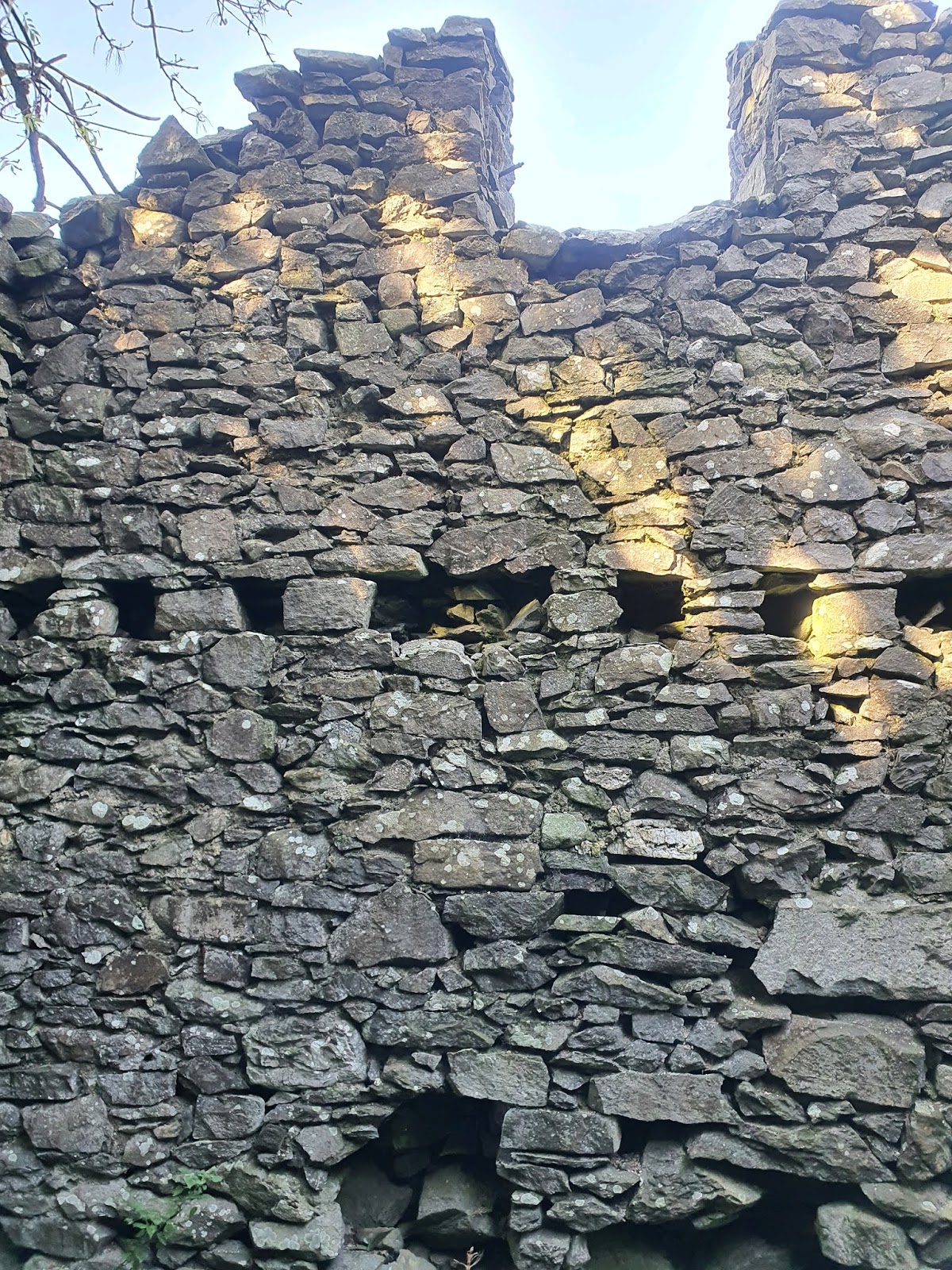
The final bit of the climb is the only part that could present real trouble to people with mild mobility issues. This little bit of rock needs to be scrambled over.


The reward for getting to the top is magnificent.
 

The river snakes below, with the village of Dolgarrog showing as a long line on the other side of the valley. Dolgarrog was heavily reliant on the aluminium factory there. For years after the factory closed the site lay derelict, but recently Adventure Parc Snowdonia (previously Surf Snowdonia, visible in front of the village to the right) was built in its place. This attraction has proved hugely popular, so I hope it survives Covid to continue to bring people and jobs to the area.


The ridge of Tal y Fan is in the distance, with Pen y Gaer to the left.


The slope below is largely planted with conifers. The only conifers native to the UK are scots pine, juniper, and yew, so all forests like this are artificial plantings.


Just down off the north end of the ridge is this plaque in memory of Thomas Arthur Leonard (1864-1948.) He was a British social reformer who pioneered the idea of outdoor organised holidays. Although he was born in London, he lived near Conwy from 1914 until his death. Pacifist and left wing, he found himself under suspicion during the First World War when Labour meetings were held at his home, although the suspicions were unfounded. Wikipedia mentions memorial plaques set up for him 'on Conwy Mountain and on Catbells near Keswick in the Lake District,' but doesn't mention this plaque on Cadair Ifan Goch.


You can scramble about a bit around the ridge. It's not a sheer drop in all places. But do be careful.


Looking up the valley towards the south. Dyffryn Conwy is an archetypal U shaped valley, the result of glacial action during the ice age. This site has a fascinating overview of the geology of Wales. 


A wider angle shot shows the full beauty of the view, with the mountains of the Carneddau rising up above the west side of the valley. I'm glad I live right under these mountains, but sometimes I'm a little envious for the view you get of them from the other side of the valley.


As we sat on Ifan Goch's seat we heard the welcome clatter of a train going down the valley. It must be one of the first since the line reopened after being repaired for flood damage.


Looking up the valley, the river describes some wonderful right angles between the patchwork of fields.

We sat a while up here, then turned to go back down. Just after we entered the trees we heard the roar of fighter jets going down the valley. By a minute or so we missed a spectacular show. All we caught were glimpses through the trees.


Oak leaves on the way back down, just turning to their autumn colours.


Our path back down took us back along the same route - or so we thought. 


When we came upon this isolated kissing gate, with no fence to either side, we realised we'd taken a wrong turn. It's easily done. I usually rely on my husband's incredible visual memory, but even he missed the right turning. It doesn't matter so much, because this path just brought us out a little way down the road, and it wasn't far back to the car park. 


Saturday, 17 October 2020

The Lost Cottages - Coed Ffynnon, Maenan

Coed Ffynnon is the name of a lovely abandoned house on the east side of the Conwy Valley, near Maenan. It's also the name of the wood in the edge of which the house sits. You'll come across the house if you follow the circular walk map at the nearby car park for Cadair Ifan Goch (see photo at the end of this post), but you don't have to follow the full walk. The house is at Ordnance Survey grid reference SH 7968 6729. 

Coed Ffynnon means 'Well Wood,' and a well is marked on the 1888-1913 map a little way north of the house, although it's not shown on the modern map. The wood itself looks very little changed in size since those days, with only the loss of a small area of trees. It's hard to find out anything online about the place, in part due to there also being a Coed Ffynnon, or Coed y Ffynnon, near Penmachno, which is more well known due to being the home of a seventeenth century poet. 


Coming from the south, the footpath runs past a couple of farms and then past the front of the house. All of this is easy going, mostly along tracks like this, although I couldn't see a footpath sign where the footpath met the road, which made being sure of the way a little more tricky.


The house itself sits in the trees to the left of the path. At this time of year, nettles are an almost impenetrable barrier. 


The south end of the house is in good condition. 


At the back is this fascinating little buttress with a hole in it. 


There are no windows in the back of the house, and the back door has been blocked up. The size of this tree might be testament to how long the place has been empty. 


A little window has been left in the blocked up back door, which has a substantial beam over it. 


Through this little window the main fireplace can be seen. 


Ivy runs up the back wall, looking almost like a tree. 


At the north end the wall is a little more damaged.


The corner of the north end, looking towards the front of the house. The building is split into what may be two separate dwellings, the main house to the south and the smaller part to the north.


Outside the north end of the house is a little stone lined path to the front door. 


Inside the smaller north end there's what appears to be a fireplace in the wall dividing this from the south end, but the gap runs through into the other house. If it is a fireplace, it's the only one in this part of the house, with none upstairs. Is it possible that the fire was jury-rigged into the original chimney during the building of this extension rather than going to the expense of building a new chimney on the north end?


There's a chimney above this apparently shared fireplace, and joist holes in the wall for the first floor.


At the north end are more joist holes, and a certain amount of damage below. There appears to have been a window in the gable end of the first floor room. 


From outside the path to the door can be seen, as well as the rotting wooden beams over door and window. 


Looking south along the track that leads to the house, with one of the nearby farmhouses just in sight.


Inside, the main house looks as if it's been used as a shelter for sheep for some time. None of the internal structure survives. 


The two beams above the far left window look quite rotten. When the wood fails there's a chance the wall above will collapse. 


Looking through the front doorway to the blocked back door. 


One of the upstairs windows has been blocked with corrugated iron, but the roof above is gone now.


Inside, at the north end, two fireplaces can be seen, on the ground and first floor. Probably these were for a ground floor parlour/living room and a first floor bedroom.


A certain amount of plaster remains on the wall. To the left of the downstairs fireplace is the curious gap through to the fireplace in the northern part of the house. There's no sign on this side that this was a fireplace, and it's too close to the obvious fireplace on the right. Why there's a hole is a mystery.


Looking east, and a possible interior wall line can be seen to the left of the front door. 


Through one of the gaping holes in the roof, the trees are starting to show their autumn leaves. 


There's more damage to the roof at the south east end. Unfortunately, the current roof seems to be made of corrugated asbestos, which would be very dangerous to remove or to work with to fix the holes.


To the right of the main fireplace the floorline of the first floor can be seen running along the wall. 


Looking towards the blocked up back door, with the curious letterbox window in it. 


To the right of the back door, the wall and floor lines are visible against the plaster and remains of paint. The ivy seen on the back wall outside is starting to creep in over the top of the wall.


The downstairs fireplace at the north end still has its brick surround.


In the main fireplace is this huge pile of twigs. Perhaps they've fallen down the chimney over time as birds nest up there. It looks rather as if it were waiting for someone to come and light a fire.


The roof above the chimney breast is broken, but the chimney is still standing.


The view out through the front window, onto a sea of nettles and a glimpse of the field beyond. This field appears to have been part of the wood on the 1888-1913 map. The new map shows a building in the middle of the field, but there's nothing there now but a suggestion of foundations in the ground.


Looking up the chimney, it seems clear of nests at the moment. 


The end of the beam over the fire is nicely carved to sit on the stone supports.


Looking across the main house from the fireplace. 


The odd low hole through from the larger southern house into the smaller northern one. The hole seems deliberately squared off, rather than something that's formed through accident.


The view behind the house, through the rectangular hole in the blocked up back door.


The beams that hold up the asbestos roof look relatively new; at least, they don't look as old as the house.


The front door frame is slowly falling apart. 


Woodworm is attacking the doorframe on this side.


The house makes a pretty sight amongst the autumnal trees.


Leaving the house behind, we walked on into the woods.


A little way from the house, still in the woods, I noticed something glittering on the ground.


I expected to see modern rubbish but, instead, came across these old bottles turning into bottle gardens on top of the leaf mould. 


An old bottle with a hexagonal cross section. 


I wondered if this were an old HP Sauce bottle. 

A rather satisfying fat bottle with a narrow neck. Perhaps these come from a rubbish tip associated with the house. It's odd to find them all lying on the surface of the ground like this, but I can only imagine someone unearthed them and left them there.


Back at the Cadair Ifan Goch car park, this is the suggested circular walk which will take you both past the house and up to Cadair Ifan Goch. Coed Ffynnon is just past Maes Myrddin.