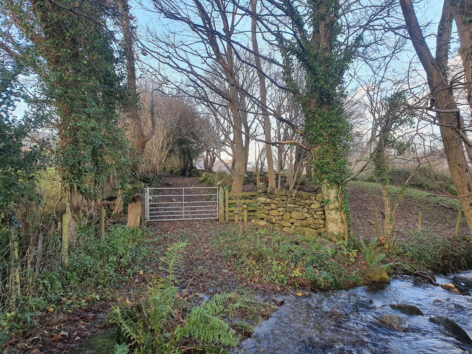
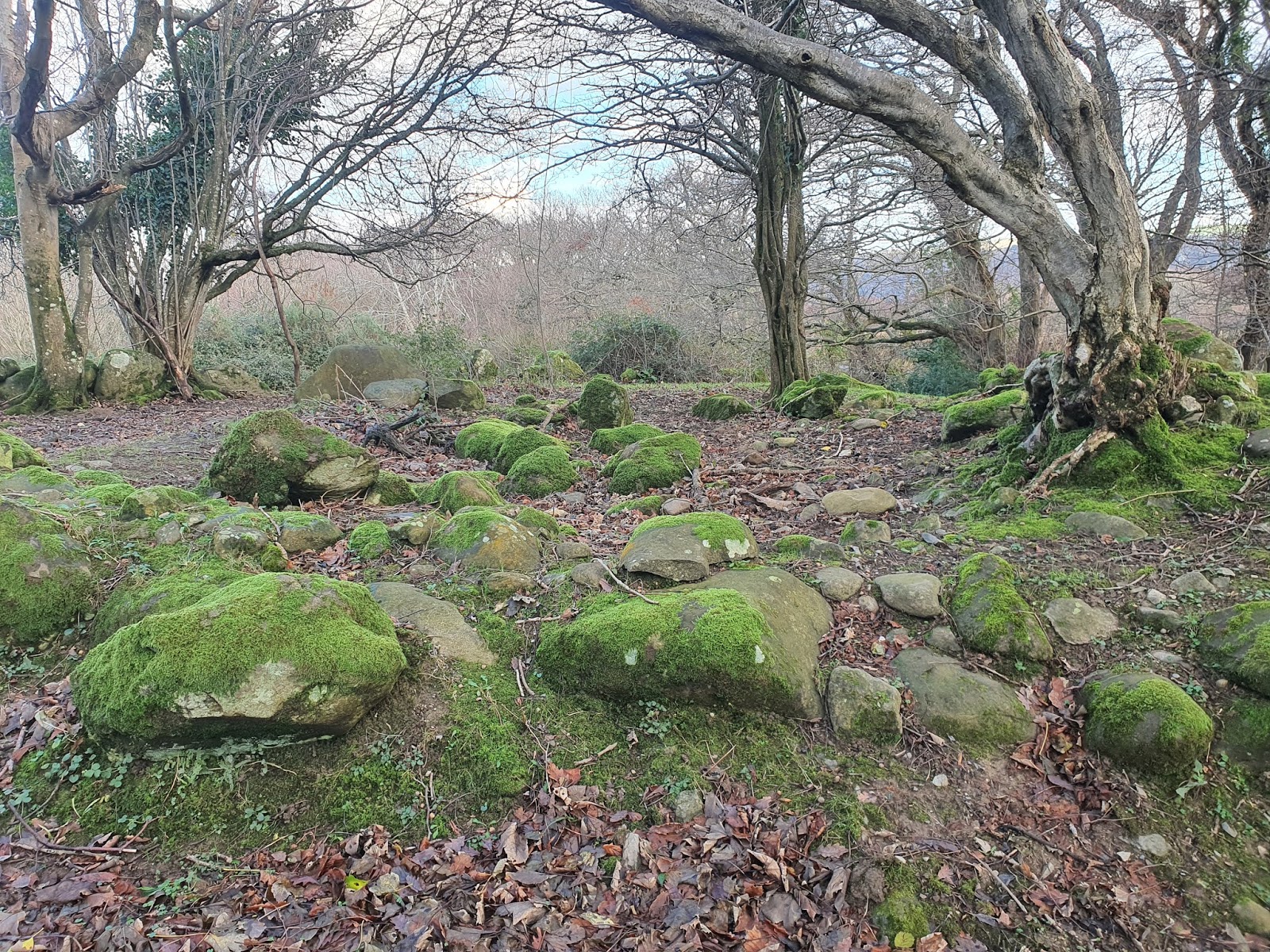
I didn't even know that this ruin was here until recently, let alone that it was the home of a notable figure in Welsh history. The house sits below a high mountain track that I'd never taken, and the ruins can't be seen from further down. Then, after posting photos from a walk along to Caer Bach, a friend told me, 'That was Huw Tom's house.' It meant nothing to me at that time, but of course I had to find out more.
The history of these hills is intertwined with quarrying as well as farming, and Huw Tom (Huw Thomas Edwards) was, from the age of fourteen, a quarry man, walking daily from this house on the south side of Tal y Fan, four miles north to Graiglwyd Quarry in Penmaenmawr, on the coast. Apparently his father decided he was too small in stature to work in the quarries, and he gained work as a farm hand; a job he hated so much that he ran away to South Wales to work in the coal mines. Read his interesting history
here and
here.
Huw Tom's subsequent life led him through the First World War, where he was badly wounded on the Western Front, but he began to be active in the Labour Party and trade unions when he returned to work at the Penmaenmawr quarry again. He was active in politics throughout his life, and was known as “the unofficial Prime Minister of Wales.”
A six mile walk, the 'Huw Tom Upland Walk,' will take you from Penmaenmawr to Rowen, past his ruined home. There is quite a bit of history about Huw Tom in the
walk guide here. The leaflet is a little out of date (for example, it describes Ysgol Rowen, Tom's school (and mine) for a little while, as thriving: in fact it is now closed and overgrown with weeds,) but the basics of the route are unlikely to have changed.
The house, at Ordnance Survey grid reference SH 7406 7233, sits just below the higher track along the side of Tal y Fan, at a junction of old tracks and directly on a footpath. A connecting track and the footpath (on slightly different routes) take you to a lower track, the path of the Roman road, which leads down to Rowen. This higher track takes you to Llangelynnin Old Church, and eventually, on mettled roads, down towards Conwy.
The old access track can be seen clearly leading across the field from the upper track.
Coflein mentions the place as 'probably an abandoned farmstead of c800 or later.' Perhaps the current building was built on the site of an earlier building, as it seems rather later than 800. I haven't been able to find the house on the Caerhun census until 1871, when it appears with four inhabitants: David Jones, age 22, stonemason, his wife Elizabeth Jones, 24, born in Bangor, and sons David, 3, born in Bangor, and Robert, 1. (David Jones and Robert were born in Caerhun.) There's no sign of the place on the
tithe map of 1846 apart from a few references to the fields below the house as 'Ffrith' and what looks like 'Ffrith Llwyn Hwna,' and Pen y Ffridd means 'top of the fridd.' Is it possible the house was built some time after the 1861 census? Could it have been built by David Jones?
By 1881 the place is lived in by John Owen, 41, a quarryman born in Gyffin, wife Ellen, 33, son Owen, 12, born in Dwygyfylchi, daughter Grace, 5, and son William, aged 3 months. (In this census John's surname appears as Owen, whereas the rest of the family appear as Owens. Unless otherwise mentioned, they were born in Caerhun.)
In 1891, it seems the house has been taken over by Huw Tom's family. These were Hugh Edwards, 33, a general labourer, his wife Elizabeth, 36, and children Mary E., 16, a general domestic servant, Margaret A., 12, John, 10, Robert, 6, and Hannah M., 3. Huw Thomas Edwards was born a year after the census. John and Hannah were born in Pistyll, but the rest of the family were born in Dwygyfylchi.
In 1901 the house has again changed hands, and is being lived in by an incomprehensibly large amount of people. I would doubt this were the right Pen y Ffrith (as it appears on the census. On the map it is Pen y Ffridd) if it weren't for the fact that it comes in order with the other houses near it on the mountain. The house (or house and outbuildings) contain twelve people, five of whom are boarders.
The inhabitants as listed in 1901 are Rowland Williams, 33, general labourer, his wife Jane, 32, children John, 12, Rowland, 8, Elizabeth, 5, Grace, 3, Ellen Jane, 1. Rowland Senior was born in Llanbedr, Caernarfon, his wife and sons John and Rowland in Llanllechid, and the other children in Caerhun. Three of the boarders are John Edwards, 54, born in Llanllechid, William Roberts, 64, born in Caernarfon, and Thomas Jones, 51, born in Llanllechid, all slate quarrymen. The remaining two are John Davies, 33, a general labourer born in Bangor, with probably his son, Thomas John Davies, 12, born in Llanllechid.
In 1911 the census gets rather confusing. The
Huw Tom Walk leaflet mentions that Hugh Thomas moved away from the house and then returned, when Huw Tom was in the last year of his formal education, so presumably in his early teens, in the mid 1900s. It also mentions that, after Huw Tom's mother died, Hugh Thomas married a policeman's daughter named Hannah.
Either this move slipped between censuses and went unrecorded, or Hugh Thomas had more than two wives. In 1911 Pen y Ffridd's inhabitants are listed as Hugh Edwards, 59, labourer in a stone quarry, his wife Mary Frances Edwards, 48, and daughter Jane Harriet, 8. Hugh is listed as having been born in Penmaenmawr, his wife in Anglesey, and their daughter in Penmaenmawr. The age, birth place, and wife's name don't quite match Huw Tom's father - although ages and birth places listed can vary in censuses according to what the subject decided to tell the census taker. So, either Hugh Thomas had three wives, and his age and place of birth are listed wrongly, or this is a different Hugh Thomas. It seems unlikely this is a different Pen y Ffridd in Caerhun Parish, since it sits with other nearby houses in the census records.
The farmstead nestles in against a field wall, with a couple of trees to mark its presence.
The remains of the track down to the house can still be seen, with very eroded walls on either side.
The track leads into the yard behind the house, with the house to the left and an outbuilding, a little more complete, at the western end of the settlement. In the foreground to the right is a low wall enclosing the yard.
The yard behind the house is flanked by the eroded yard wall to the right (north), a small outbuilding straight ahead to the west, and the house to the left, in the south. The aerial view (via Google Maps or Ordnance Survey) shows eroded field boundaries around the house set within the larger, squarer field now used by the farmers.
Possibly this half buried wall is the edge of the track. It doesn't seem to be connected with any other walls indicating it to be a building.
The east face of the outbuilding, with a doorway visible to the centre. Possibly this was a wide doorway, with the left side just at the left of the photo with some rubble fallen against it. Many of the stones in these buildings are well faced, probably quarried, in contrast to the older houses built from stones picked up from the fields.
A tumbled post at the north east corner of the outbuilding. Possibly there was a little building here at this end.
The south wall of the outbuilding looks as if it has an internal wall near the west side, but this is actually the original back wall of the building. The aerial view shows the line of this wall, even though most of it is demolished.
Although the building is constructed with relatively small stones, the corners are solidly built with nicely faced stone.
A broken roof ridge tile sits atop one of the stones.

The little yard behind the outbuilding and to the side of the house, with low, lichen covered trees to the south west corner. If these trees were mature when the house was inhabited the lower branches probably would have been trimmed, because they overhang the gateway. It seems likely there would have been some trees planted near the house.
The south wall of the outbuilding shows an unusual construction if the peak of the roof is original, because the roof would have been unsymmetrical. It seems more likely that more stones have tumbled from the right side, altering the line of the gable. The wall to the left is very roughly built and looks more like a quickly built addition, making use of the outbuilding and the field wall to create another shelter or a pen.
One gatepost survives into this south western yard, in the south wall.
From the yard the view looks out over the valley, with lichen-covered tree branches reaching across in front.
The west end of the house has tumbled down badly, spilling a lot of rubble into the yard, but the corners show the same solid, well faced stones as the outbuilding.
Rusted leaf springs, possibly from a cart, lie by the yard wall.
Looking back into the little yard to the west of the house, with the gatepost in the wall.
Some kind of iron machinery in front of the house.
More iron machinery in front of the house.
Another bit of broken machinery in front of the house.
The view from the front of the house looks down over the valley, towards the hill separating the main valley from Eglwysbach. Pen y Gaer is just in frame to the right.
Standing in front of the cottage, most of the front wall has fallen down.
This tiny, grainy photo from 1956, found in the Huw Tom Upland Walk leaflet, shows the cottage when it was abandoned but almost intact. Two windows can be seen either side of the front door, with a chimney at each end and a little lean-to at the eastern end. The lean-to possibly has a door to the left, and a little window to the right. It would have been a tiny house to live in with a family, and incomprehensible that twelve people lived here at one time.
There's an intriguing reference on the
National Library of Wales site reading '
The
writer cut out a picture of Pen-y-Ffrith from Y Cymro a while ago. An
attempt will be made to re-build the house during the current week.
Encloses a water colour sketch of the chapel (A1/201a) in the hope that
Huw T. Edwards will like it.'
The house has a small walled area, like many of these cottages, separating it from the field in front.
The front doorway is to the right in the photograph, evidenced by the rubble-filled gap, with a window hole to the left. Perhaps the long stone on top of the tumbled wall was a lintel.
What looks like nothing more than a mess of stone is actually the opening for the front door, with one straight side of the doorway to the left of the photo, and the other side just in frame on the right.
Inside the ruin all of the floor space is covered in fallen stones. Perhaps this large beam, about ten inches wide, was either part of the roof structure, or a beam from a door or window or fireplace.
The back wall meeting the eastern wall. The eastern end must have held a small fireplace.
The eastern wall and part of the front wall, which possibly had a window looking out over the valley. Note the odd triangular slab stone to the left.
This large triangular stone is a bit of a mystery. It has two holes drilled in it, and looks as if it must have fallen from one of the walls. It must have been a big, heavy object, and I'm not sure what its purpose would have been.
The remains of an internal wall, probably partitioning off the eastern end of the cottage to make a small room. Immediately to the left there seems to be a back doorway, blocked up.
A nook which must have been the small fireplace for heating the small eastern room.
An old piece of iron which may have been part of a bedstead, in the western end of the house.
In the south-western corner are a few remains of wood. Possibly they were joists.
It seems likely that the large fireplace would have been at this western end, but it is completely collapsed. The photo from 1956 shows a slight asymmetry in the windows, with more space between the western window and the western end wall; perhaps this was to account for the projection of a large fireplace.
The right hand side of what was probably the big fireplace. There are more big, flat slabs of stone here. They could have formed the top of the fireplace, over and behind the beam or lintel.
A close-up of the possible bedstead remains.
In the back wall of the big room, next to the partition wall for the eastern room, this seems to be a blocked up doorway. It feels relatively unusual for a small cottage like this to have a back door. Without the evidence of the 1956 photo I might have thought it a two storey dwelling.
At the east end of the house the lean-to is nothing more than rubble. The aerial view shows clear signs of the lean-to, with what almost looks like another wall a little further east. Rather than an enclosure, it may have been a wall curving about the end of the house from the trackway to the front of the house.
This view along the east end of the house shows where the track enters the yard, with a wall curving to the left to form the back yard, and to the right around the side of the house.
The very demolished easternmost cell, the lean-to.
In the ruins, another piece of unidentified metal.
Behind the house is what appears to be another bit of bedstead.
Looking across the back corner of the house towards the trees in the western yard.
On leaving the house, heading west and south down to the lower Roman road, one passes through a rather nice new wooden gate. Although this house seems rather isolated, high up on the mountain, its position near two tracks giving passage out into the valley eastward and up over Bwlch y Ddeufaen westward makes it relatively well sited, and certainly more convenient for walking around the end of Tal y Fan to the quarry in Penmaenmawr than a house lower down would be.




 Looking down the lane from the ford. Imagine this road as a track of stones and mud, and it's easier to understand why you might pay a toll to travel on a route that was better looked after.